Editor Checklist
#edit to the URL or set data-edit-guide="on" in the code.
1. What is Kōyama?
Elevation 532.8 m. Rising on a peninsula that juts into the Sea of Japan, Kōyama has long been a landmark for navigation. A viewing platform on the summit offers a full 360° panorama of Susa Bay, the open sea, and surrounding mountain ranges. The name is said to derive from the myth of Susanoo-no-Mikoto gazing over the sea routes; the mountain was once called “Kamyama”. Note the reading: not “Takayama” but “Kōyama.”
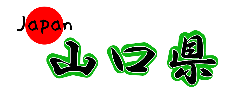
Susa, Hagi City, Yamaguchi
All year (crisp views in autumn–winter; stunning sunsets on clear days)
30–60 min for the observatory (incl. photo time)
Parking space near the summit; some narrow sections—drive with care
2. Highlights
① Summit Observatory (360° Panorama)

From the summit you can sweep your eyes over Susa Bay, whitecaps on the open sea, Tenjin Island, and distant ridgelines—a full 360° view. On clear days the gradient on the horizon is stunning, and the scenery shifts between morning and evening. Strong winds can make it feel colder than it is—bring layers and wear shoes with good grip. Under ideal conditions you may even glimpse Izumo in Shimane Prefecture, about 125 km away. (Photo: looking toward Shimane from the observatory.)
② Magnetic Rocks (National Natural Monument)
Around the summit lie massive rocks with strong magnetism—powerful enough to throw off a compass. They were designated a National Natural Monument in 1936. One theory is that magnetite in the gabbro was magnetized by lightning. Smartphone compasses can also go haywire here—take care.

③ Views of Susa & Esaki Bays
Kōyama is the landmark for the Susa–Esaki area. The contrast between the deeply indented coastlines, chains of offshore islets, and the calm waters of the bay is captivating. Blues pop at midday on clear days, while evening silhouettes along the peninsula turn dramatic.

3. Access
Public transport
- JR Susa Station → about 10 min by taxi
By car
- Hagi-Iwami Airport → ~40 min by rental car (prefer Route 191)
- Roadside Station Abu Town → ~25 min by car
- Parking: near the summit / narrow sections—drive slowly
Times are estimates and vary with traffic and weather.
4. FAQ
Is it pronounced “Takayama”?
The official reading is “Kōyama.”
Can I drive up to the summit?
Yes, there’s a road to near the top. Some sections are narrow—please drive slowly and yield.
Where are the magnetic rocks?
Several are scattered around the summit. Watch your footing and please do not touch or take these natural features.
5. Changes through the Day (Follow ① → ⑤)


